Nadelhorn by the Integral Nadelgrat
📅 November 27, 2020
•⏱️ 6 min read
After having traversed the Grand Cornier earlier with the same group, we felt we were ready for a longer objective. The Nadelgrat traverses four 4000m peaks: Dirruhorn (4035m), Hohbärghorn (4219m), Stecknadelhorn (4241m), and finally the Nadelhorn (4327m). Due to climate change, the entry couloirs to the ridge at the Dirruhorn are only in condition early in the season. As an alternative, it is possible to approach the ridge by the Galenjoch, which makes the route quite a bit longer. Even though the technical difficulties are low, the length of the climb with a listed time of 10h from hut to summit is the crux.
The Approach
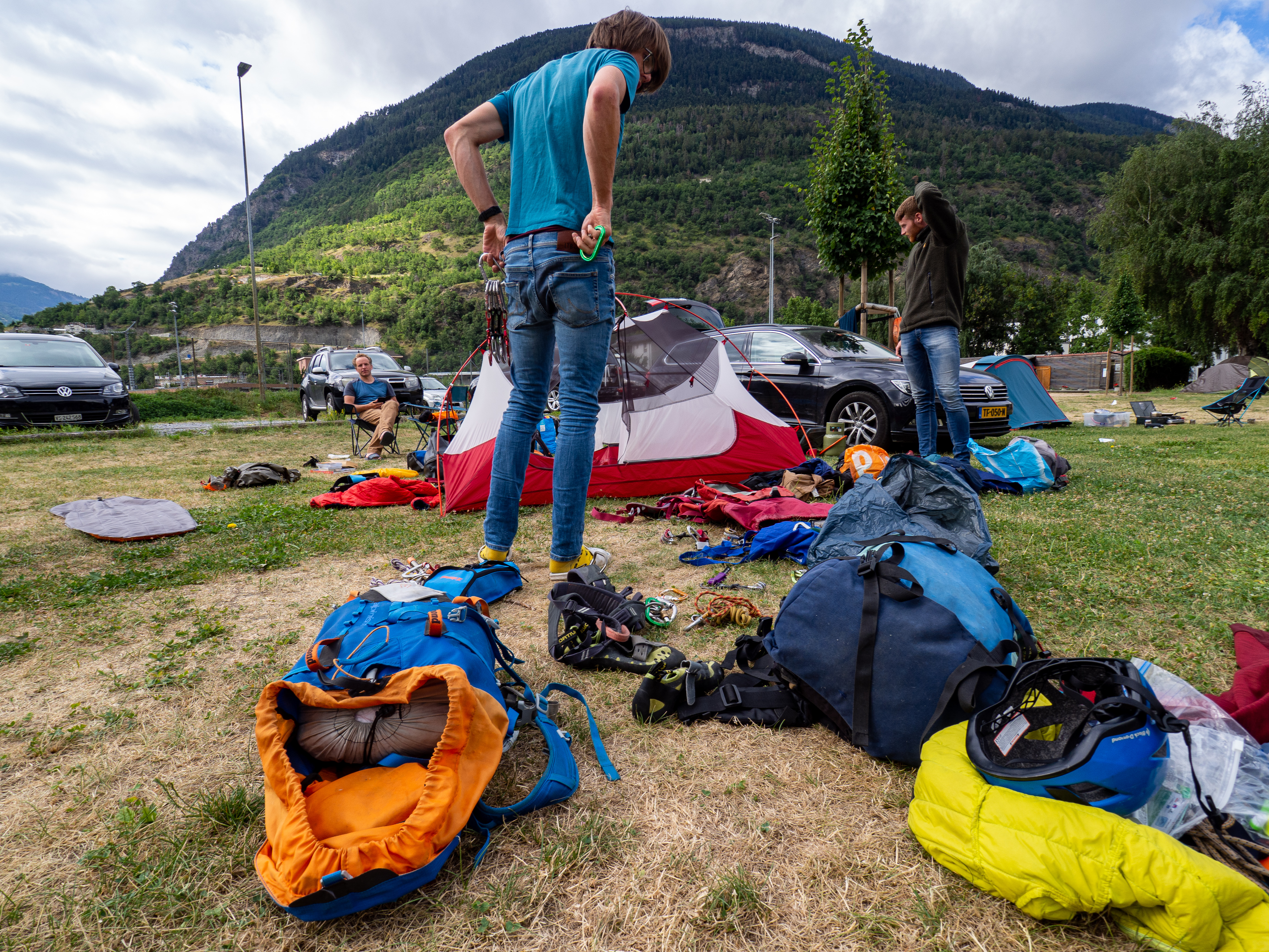
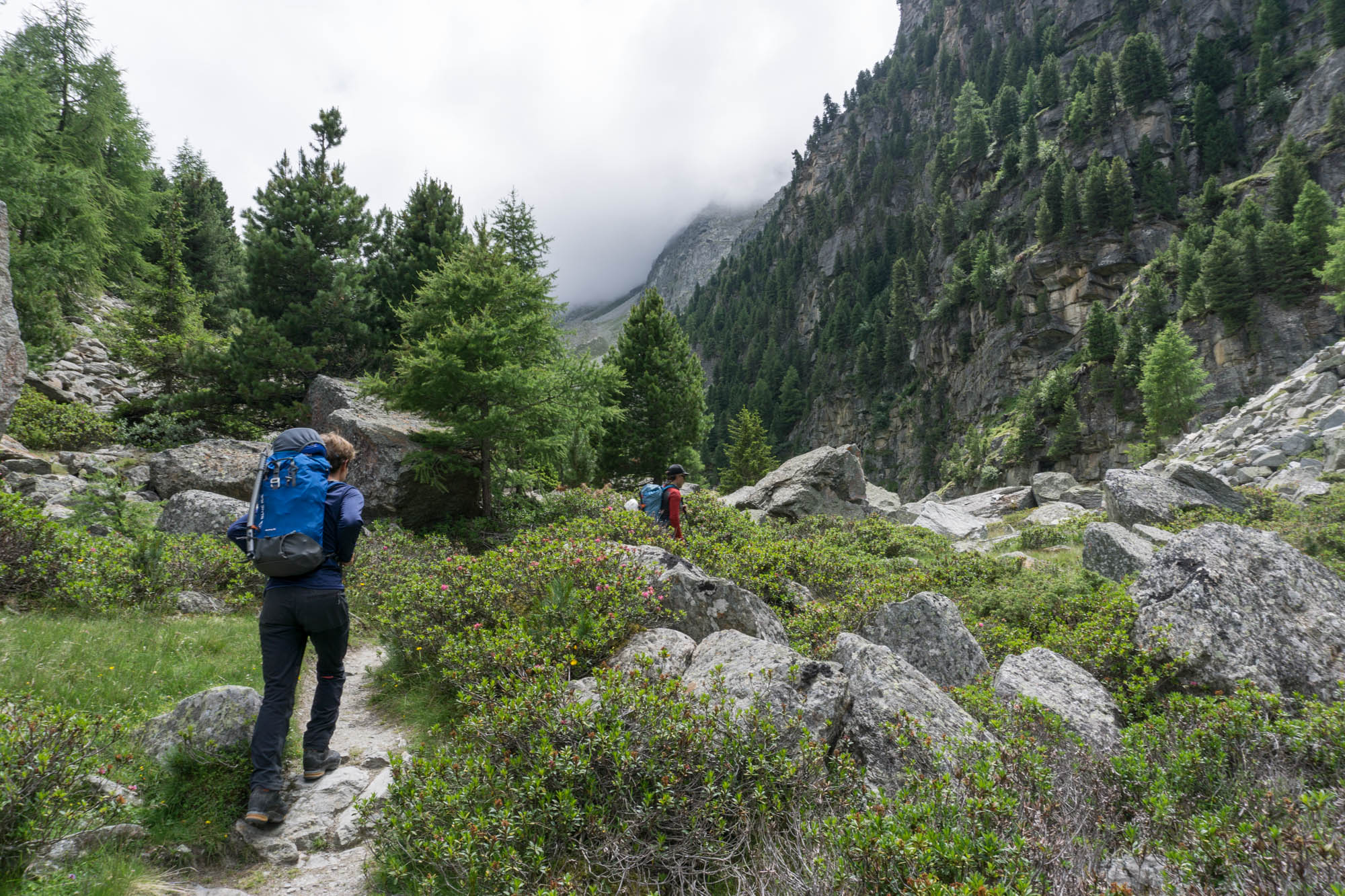
After some final preparations, we headed for Gasenried on the 16th of July. The hike to the Bordierhütte was short, scenic, and didn’t require any gear for the glacier crossing due to its retreat. Before reaching the hut tens of meters of smoothly polished rock have to be gained using cables and ladders. I find it difficult to imagine that the glacier once was at the same level as the hut and it’s sad to see how climate change affects the glaciers. We arrived at the hut with some time to spare for a quick nap before dinner. As we had to leave at 02:00 the next morning, any sleep we could get would be valuable.
The Climb
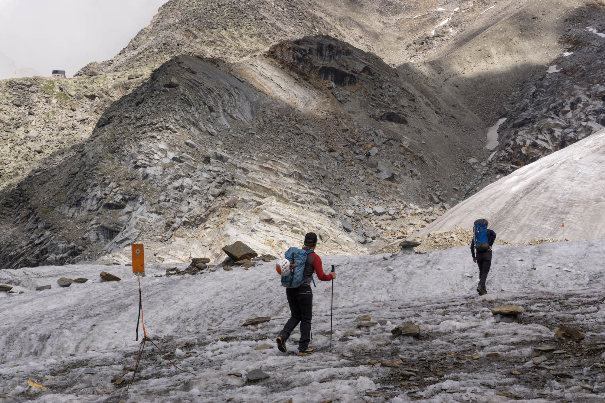
The alarm rang at 01:50, and even though we went to bed at 21:00 I didn’t feel rested at all. Waking up this early always makes me question why I do this and isn’t my favorite part of alpine climbing. An hour later we set off towards the Riedgletscher along the same path we took yesterday. Only this time in the dark, which made all the ladders and cables more tricky. Luckily reflector poles were installed on the glacier that made navigation very easy. From the glacier, you are supposed to follow a rocky ledge equipped with cables towards the Galenjoch. Even though we paid very close attention, we still missed this path and ended up back on the regular hiking path. To not make the same mistake, make sure to leave the glacier as soon as the path starts to turn north! From the hiking path we ended up on, it is possible to scramble through scree back south towards the Galenjoch. An alternative we estimate took half an hour longer than the normal route, so make sure to pay more attention than we did.
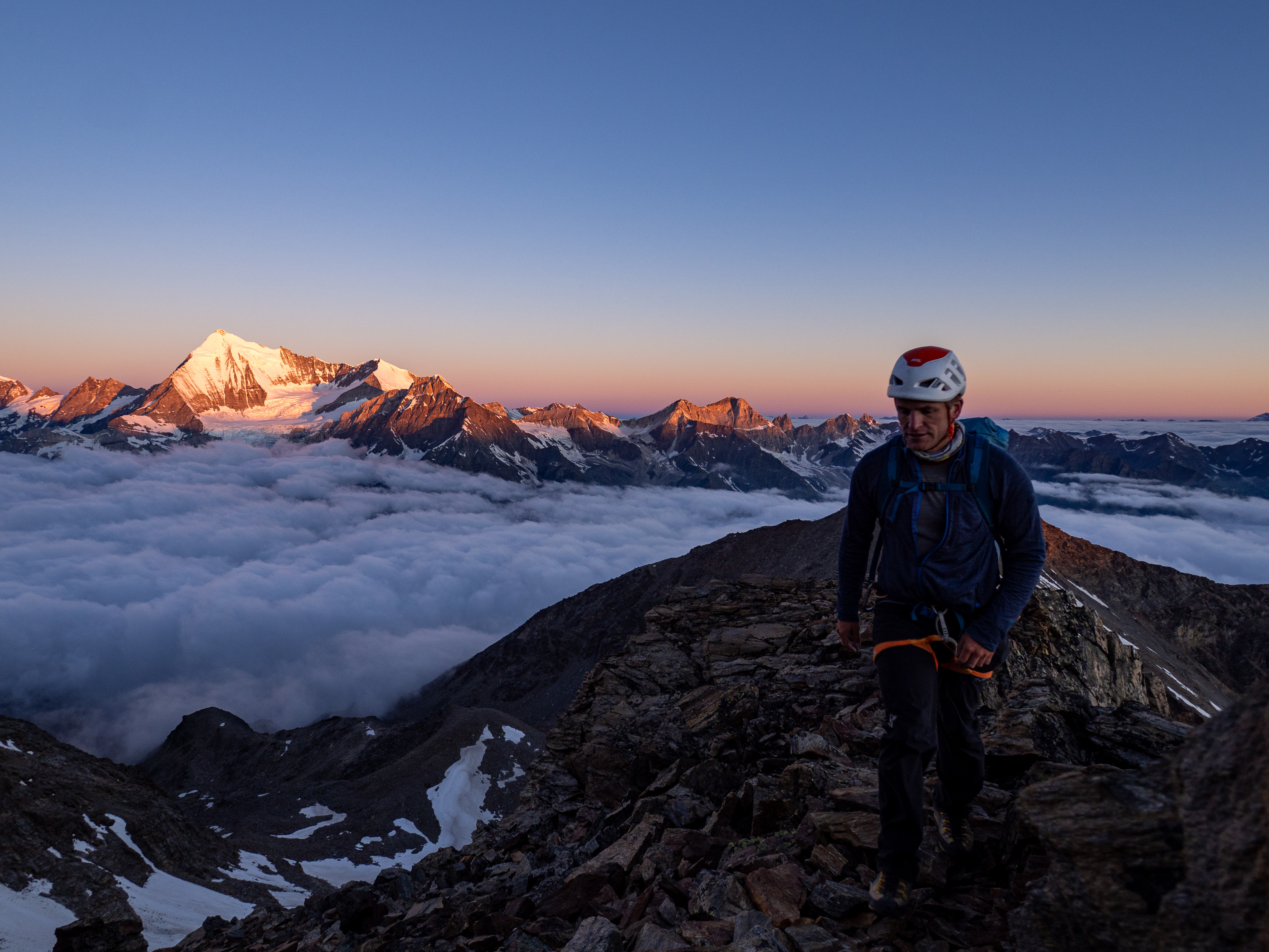
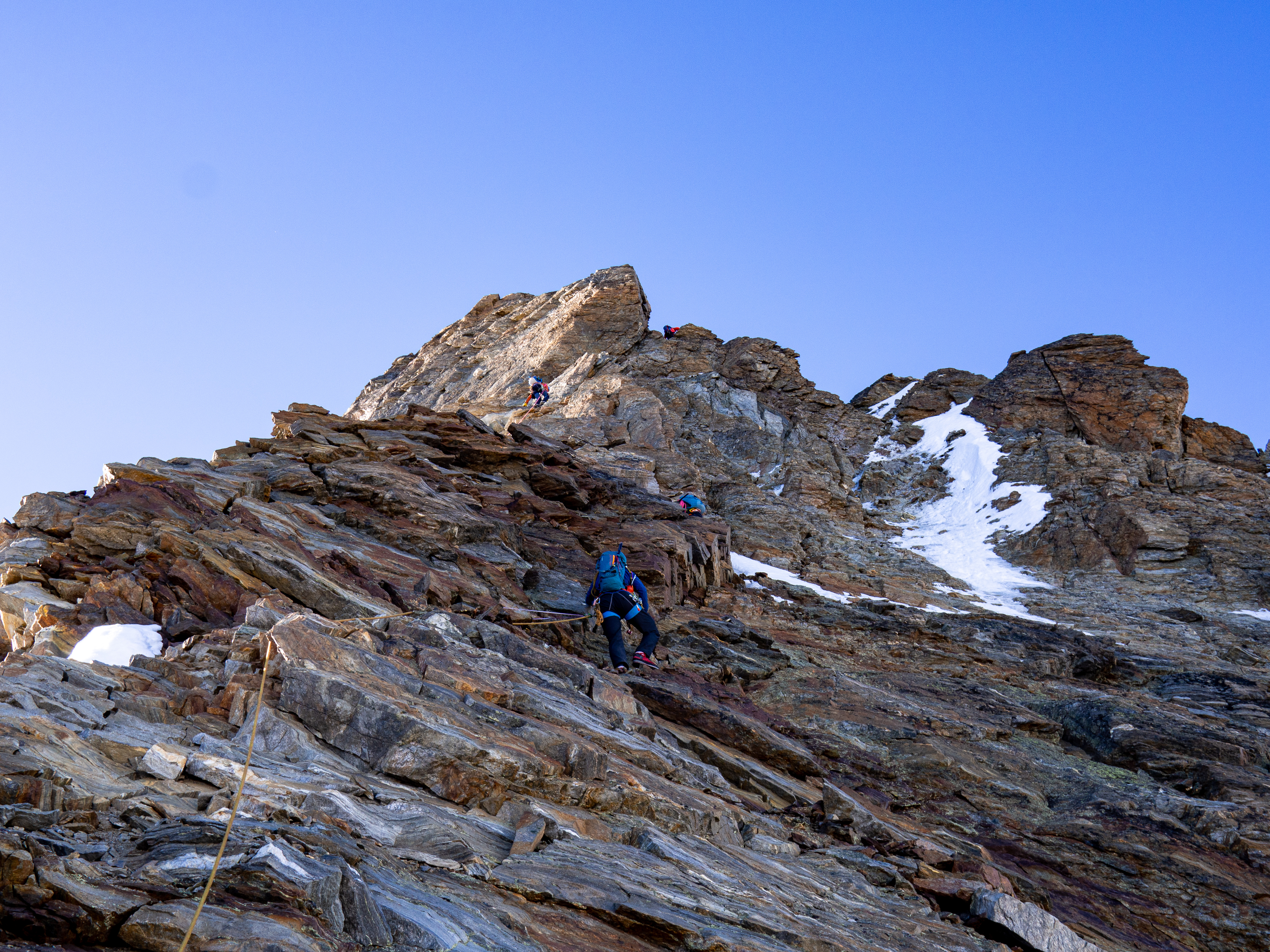
After two hours from the hut, we arrived at the Galenjoch (3301m) and witnessed a beautiful sunrise with great views of the Weisshorn. Some surprisingly good bivy spots are available on the first part of the ridge. Sleeping here would shave two hours off your climbing day, though I’m not sure if it’s worth it as you’d have to carry the additional gear. If I remember it correctly, we first roped up shortly before the Chli Dirruhorn (3889m). The part before this was mostly walking with some short moments of scrambling. After 6.5 hours from the hut, we arrived at the summit of the Dirruhorn (4034m).
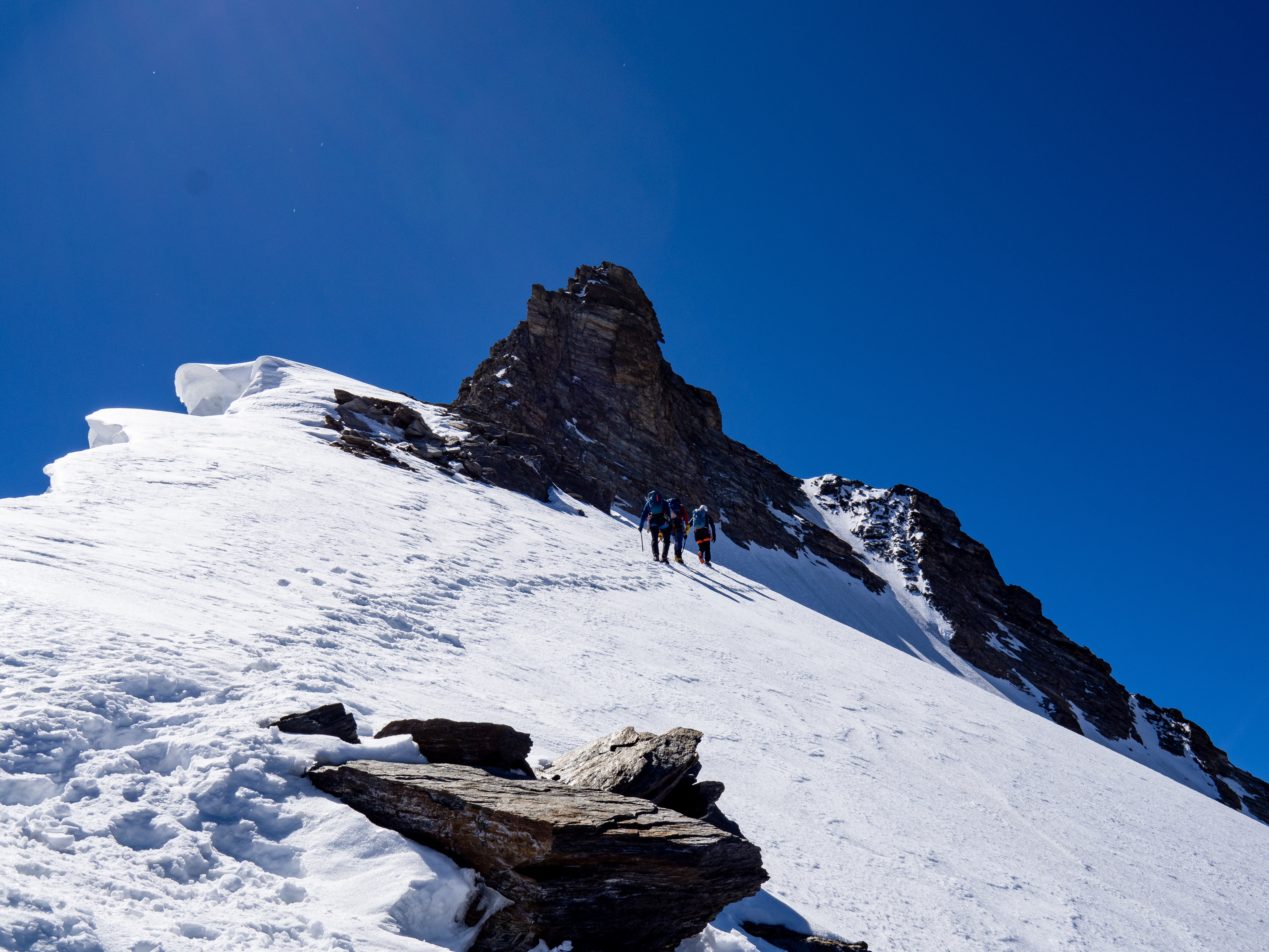
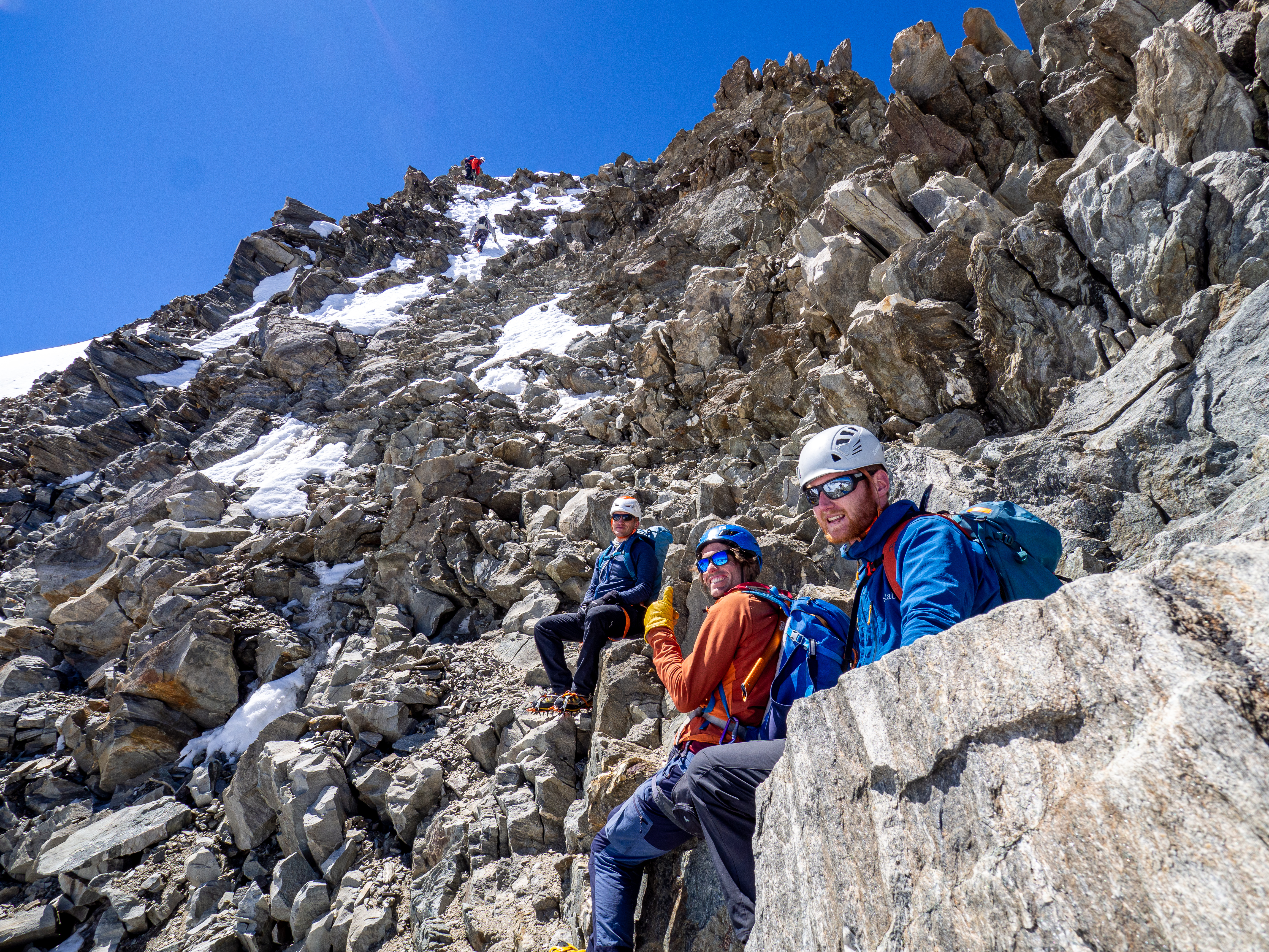
From the Dirruhorn we put the rope away as the climbing was easier again. Shortly before the Hohbärghorn, the climbing became harder and we decided to rope up. During this, two Swiss climbers above us unintentionally kicked down a few rocks that hit Tim in the head. Luckily he was wearing a helmet and only felt dizzy after the event. This showed me why we always wear a helmet when alpine climbing. After a short break to let his headache recede, we continued on the snow ridge towards the summit and put the rope away again. Almost 9.5 hours from the hut, we reached the Hohbärghorn (4217m).
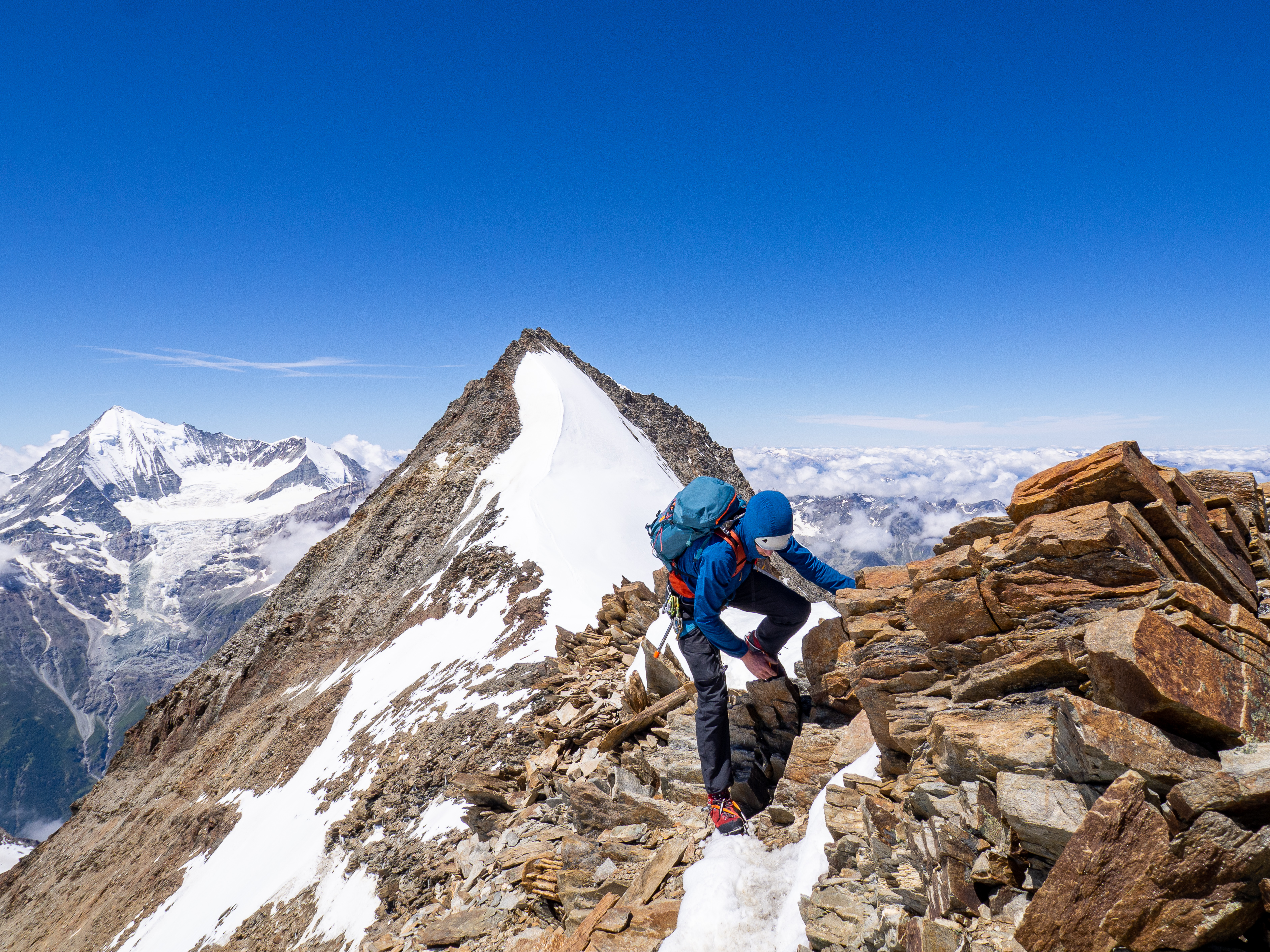
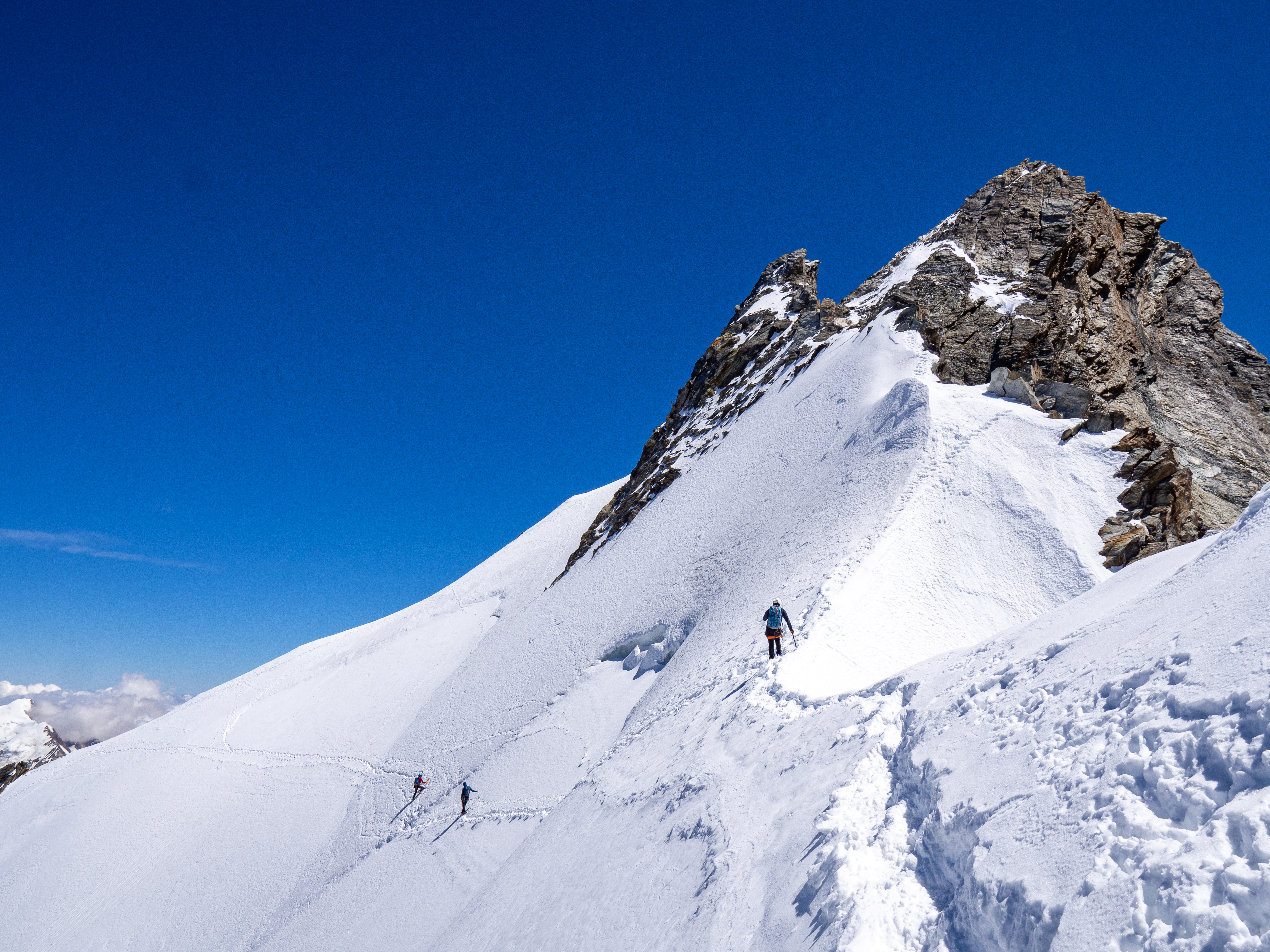
The climbing continued to stay relatively easy and we quickly reached the summit of the Stecknadelhorn (4239m). To reach the final summit from here it is possible to continue by the ridge or traverse the north slope of the Nadelhorn and take the normal route to the summit. This second option is easier and looked faster as well. Time was important to us as the wind would pick up during the day and we’d planned for Tim to take off with his paraglider from the Windjoch. He would then retrieve the car in Gasenried and we would take the much shorter descent back to Saas-Fee. After the traverse, Kasper and I quickly tagged the summit of the Nadelhorn while Tim and Peter continued to the planned paraglider take-off point. When we reunited at the Windjoch the wind was too strong and taking off would be dangerous. So, we decided to descent towards Gasenried together and scrap the plan of splitting up. Before we reached the glacier, we still had to ascent the Ulrichshorn, which was quite tough after more than 12 hours of climbing around 4000m.
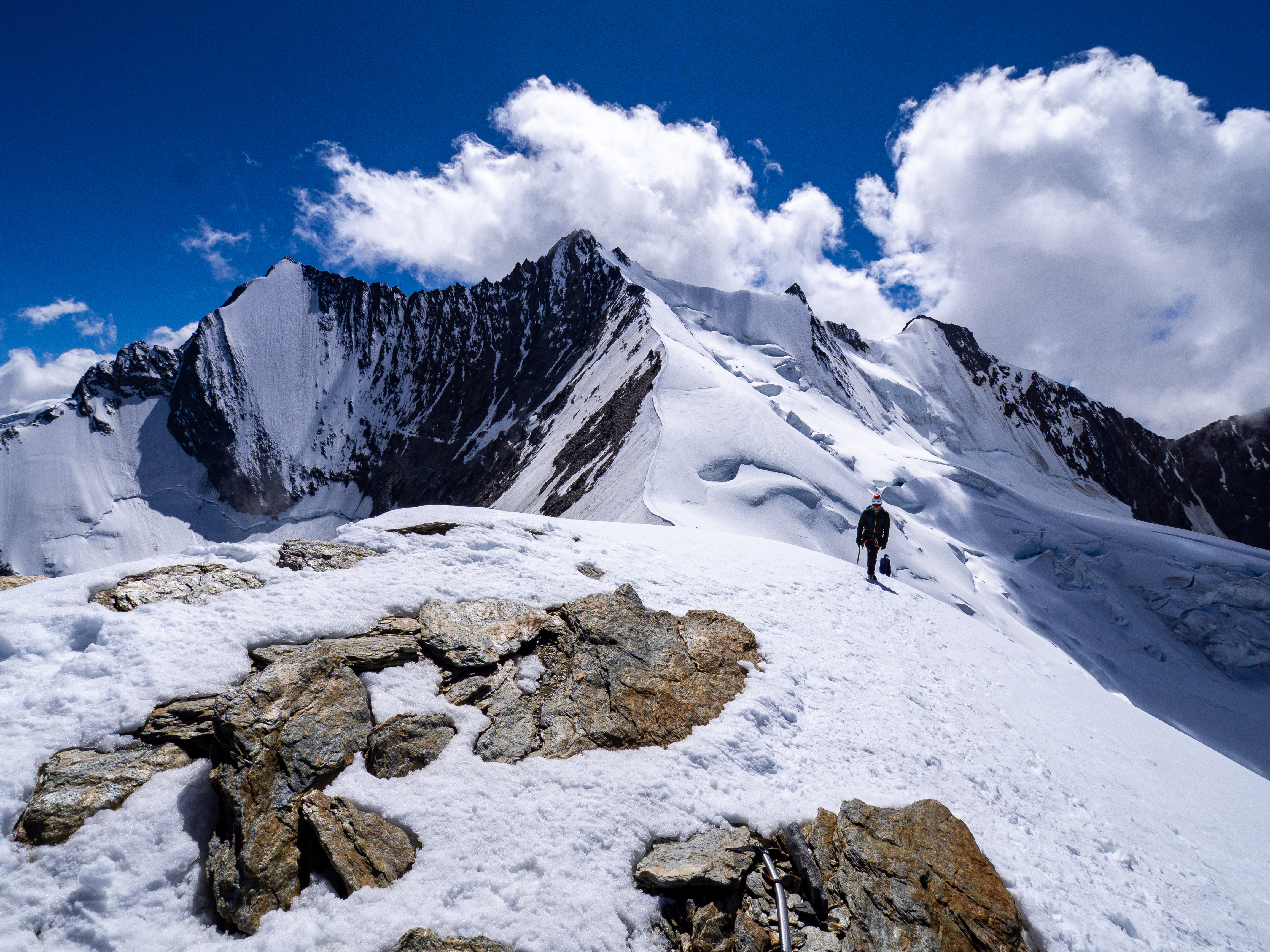
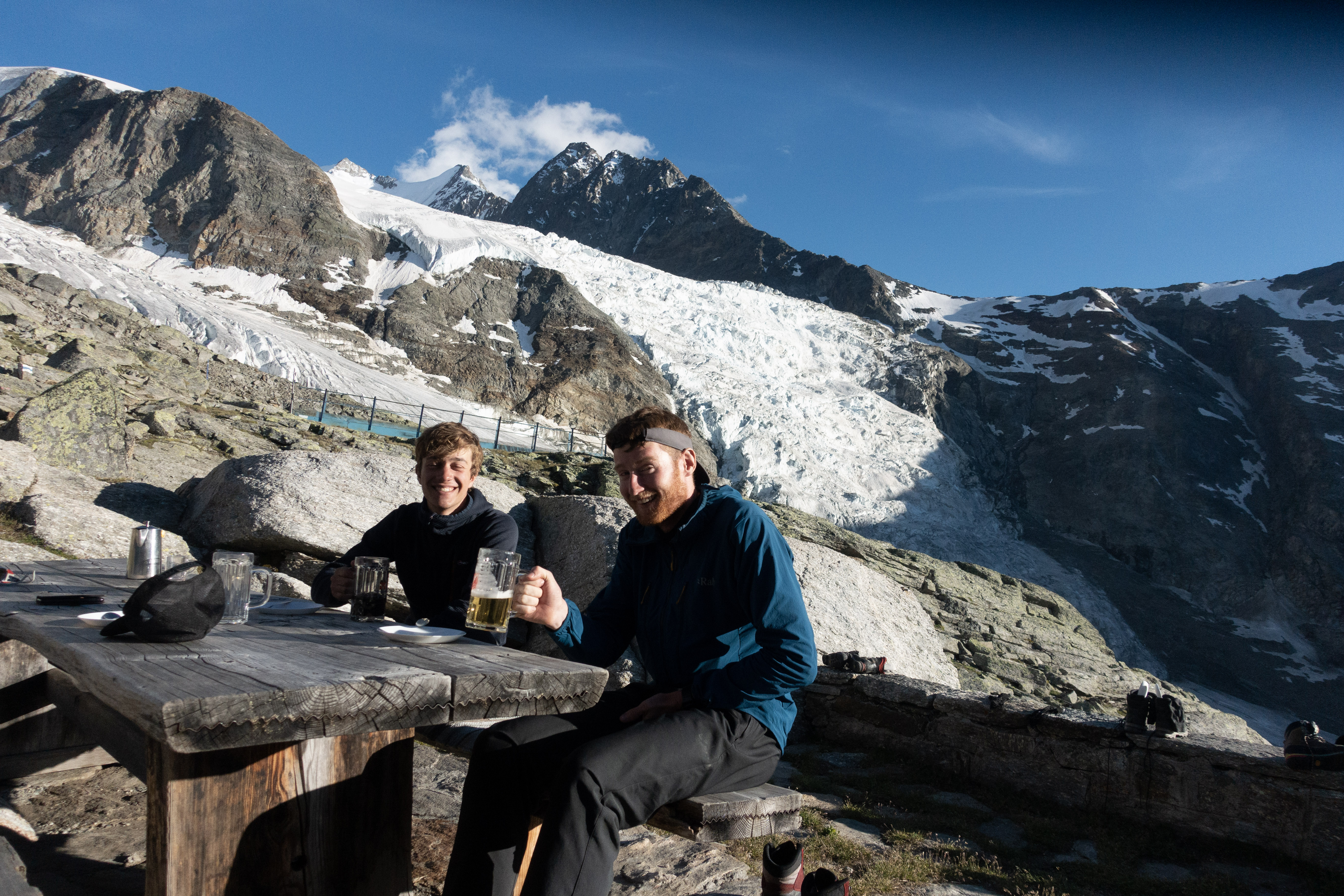
Next, a long descent of the Riedgletscher awaited us. During this, I fell waist-deep in a few crevasses and was happy to cross it as a rope group of four. Shortly before reaching the hut, the wind speed had dropped enough that Tim could still take off with his paraglider. We were jealous of him as it saved more than 5 hours of walking down. Finally, we arrived at the Bordierhütte after 16 hours of climbing. Some drinks and snacks later we continued towards Gasenried as the sun began to set. In the dark, we eventually met up with Tim who was waiting on us with cold drinks. In the end, it took us 20 hours from hut to car, one of my longer climbing days so far.
Details
- Climbing date: 18th of July 2020
- Climbing partners: Peter, Kasper and Tim
- Route difficulty: 3c, 900m, AD